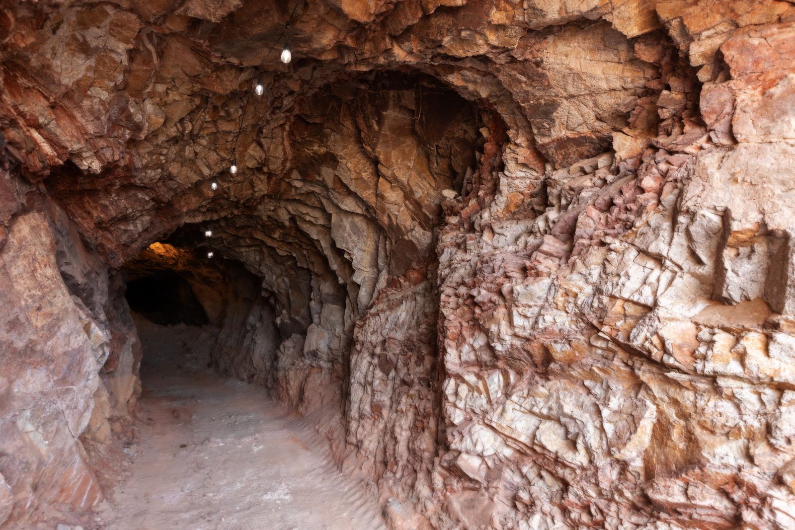
Cova 338 sits at 2,235 metres above sea level in the Núria Valley of the eastern Pyrenees, and inside its two shallow chambers archaeologists have counted 23 hearths stacked across roughly six square metres of excavated floor, some of them 5,500 years old, most of them full of crushed green mineral fragments that look like malachite. The team from the Universitat Autònoma de Barcelona and IPHES-CERCA that dug the site had to walk every kilo of equipment up the mountain and carry every bucket of sediment back down.
What they found rewrites a working assumption that has held in Pyrenean archaeology for decades: that anything above 2,000 metres was a place people passed through, not a place people worked.
The altitude problem
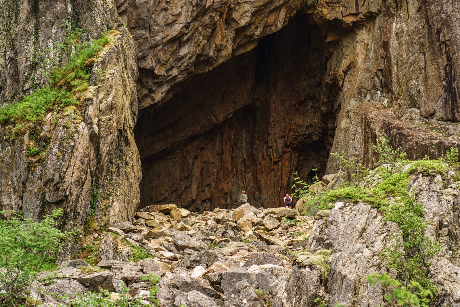
For most of the twentieth century, prehistoric sites in the high Pyrenees were read as evidence of transit. A hearth here, a scatter of flakes there. Hunters chasing ibex over a col. Shepherds pausing on a summer route. The mountain was framed as corridor, not workshop.
That framing had a logic. Above 2,000 metres the growing season shrinks to a few months, firewood thins out, and the walk in from any inhabited valley is punishing. Investing labour up there — carrying tools, food, ceramic vessels, ore — only makes sense if the mountain is giving something back.
Cova 338 shows the mountain was giving something back, and had been for at least four thousand years.
Twenty-three hearths in six square metres
The excavation opened only six square metres at the cave entrance, and inside that trench the team identified distinct layers of occupation. The uppermost was thin and modern-adjacent. The bottom layer held only charcoal, radiocarbon-dated to around 6,000 years ago. The action was in the middle.
The middle layers contained 23 combustion structures — hearths — cut into and across each other. According to the Frontiers in Environmental Archaeology reporting on the find, one hearth dates to about 3,000 years ago, while other hearths cluster between 5,500 and 4,000 years old. The fires kept coming back to the same small floor.
The pattern matters. Hearths that overlap but remain distinct — visible as separate rings of ash and burnt stone in the section wall — mean people returned to the exact same spot after enough time had passed for the previous fire to be buried by sediment. Not once. Not twice. Dozens of times, across two millennia.
The green stones
Scattered through the hearths were fragments of a green mineral, many of them crushed and thermally altered. The preliminary identification, still being confirmed by the University of Granada, is malachite — a copper carbonate that turns brilliant green when broken and can be roasted to yield metallic copper.
According to the research, the malachite fragments show signs of thermal alteration while other cave materials do not, suggesting the burning was intentional rather than accidental. Julia Montes-Landa of the University of Granada was a co-author on the study. The evidence points to deliberate burning rather than accidental exposure to fire.
The distinction matters because it separates a cooking fire that happened to contain a coloured pebble from a hearth built to process ore. At Cova 338 the fires were arranged around the mineral, not the other way round.
If the identification holds, Cova 338 becomes one of the earliest examples of high-altitude copper-ore processing in Western Europe, pushing the practice back into the Late Neolithic and running it forward through the Bronze Age.
A child, a shell, a bear’s tooth
Copper wasn’t the only thing left behind. In the third layer the team recovered a finger bone and a baby tooth from at least one child, roughly 11 years old. There isn’t enough material to assign a cause of death or even to confirm the two bones belong to the same individual, but their presence raises the possibility that burials lie deeper in the cave than the excavation has yet reached.
The second layer produced two pendants. One was cut from a Glycimeris shell — a marine bivalve, meaning the ornament travelled inland and uphill from a Mediterranean coastline more than a hundred kilometres away. The other was made from a brown bear’s tooth, an object with parallels almost nowhere else in Catalan prehistory.
The ornaments point to connections with distant communities and to symbolic practices tied to the local environment. A jewellery box carried up a mountain, in other words, containing both a coastal keepsake and a piece of the forest below.
What “planned occupation” actually looks like
The word archaeologists reach for when describing Cova 338 is logistical. Not a home. Not a shelter of last resort. A worksite integrated into a seasonal calendar, visited when the snow retreated and the paths opened, used intensively for a stretch of days or weeks, then closed up again.
Everything the visitors needed had to be carried in. Ceramics for storage. Food. Kindling to start the first fire before the local juniper could be gathered. Tools to crush the ore. And everything worth keeping had to be carried out — including, presumably, the copper the roasting was meant to produce.
Spatial analysis of the trench shows the interior was organised, with different zones for different tasks rather than one homogeneous mess of debris. That kind of internal structure is the fingerprint of people who knew the space, expected to use it again, and wanted the next visit to go smoothly.
The mountain was not a barrier, but an active place within the economic and territorial organization of prehistoric communities.
Why archaeologists missed it
The old assumption about high-altitude sites — brief, marginal, transit-only — wasn’t lazy. It was built on the sites that had actually been dug, most of them small rockshelters with thin deposits and few finds. If you only sample the shallow end of a mountain, you get the shallow story.
Cova 338 was different because the deposit was deep, the preservation was excellent, and the cave sat in a spot that funnelled repeat visitors to the same floor. The paper describing the site as the first evidence of intense prehistoric occupation beyond 2,000 metres in the Pyrenees notes that the sequence has been protected and access restricted, precisely so future digs can keep going down without contamination.
There is also the physical cost of testing the old assumption. The Cova 338 team has been walking in and out of the Núria Valley for three field seasons, carrying sediment down the mountain by hand. Doing archaeology to modern scientific standards under those conditions is extraordinarily demanding. Most high-altitude caves have never been sampled at that resolution because it is genuinely hard to sample them at that resolution.
The copper geography
If the green fragments are malachite, the next question is where they came from. Malachite outcrops exist in the eastern Pyrenees, but tracing a specific hearth’s ore back to a specific vein requires trace-element and isotope work that is still underway at Granada and Barcelona.
The stakes of that analysis are considerable. A confirmed local source would mean the cave was tied to a nearby mineral outcrop that prehistoric miners were quarrying on the same trips. An imported source would mean the cave was a processing hub — a place chosen for its fuel, its shelter, or its position on a route, where ore mined elsewhere was brought to be roasted.
Either answer reshapes the map of early European metallurgy. The cave sits at 7,330 feet above sea level — territory that most models of Copper Age industrial activity have quietly written off.
What the next season might find
The excavation has not yet reached bedrock. The team plans to keep going this summer, extending the trench and pushing into deeper layers that may predate the 6,000-year-old charcoal at the bottom of the current sequence. The work has already produced 6,000 years of documented human occupation, making Cova 338 the highest cave in the Spanish Pyrenees with continuous prehistoric use on that timescale.
Sediment DNA work — the same technique that has pulled Neanderthal genomes out of dirt in Denisova Cave — is being considered for the deeper layers, which could identify the individuals who lit the fires without ever finding their bones. The child’s finger and baby tooth already recovered will be tested for isotopes that record diet and mobility, potentially revealing whether the visitors were locals from the valley below or came from further afield.
The Moon Daily beat has spent recent weeks on other quiet infrastructural stories that reshape maps — from Chile’s planned tunnel under the Strait of Magellan to the Saharan dust that feeds the Amazon. Cova 338 belongs to the same category: a data point that quietly moves a line on the map from “empty” to “working.”
The mountain as workshop
Stand at the cave entrance today and the Núria Valley falls away in glacial folds, the Freser River threading below and the higher summits of the Puigmal massif closing the northern horizon. In the fifth millennium BCE the vegetation was slightly different, the treeline slightly higher, the winters slightly longer. Everything else — the walk in, the wind, the thin fuel — was the same.
Whoever kept coming back to Cova 338 was making a calculation. The copper, or whatever the green stones were being processed into, was worth the climb. Worth carrying pots up for. Worth carrying a child up for. Worth stringing a shell from a coastline they might never have seen and a tooth from a bear one of them had killed, and leaving both in a hearth 2,235 metres above the sea.
Twenty-three fires, stacked one over the next in a room the size of a small bedroom, over roughly two thousand years. The last of them went cold around the time Rome was still a cluster of huts on the Palatine.