Bangladesh, the low-lying delta country wedged between the Ganges, Brahmaputra and Meghna rivers, lost roughly 300,000 to 500,000 people to the Bhola Cyclone on the night of 12 November 1970. When Cyclone Amphan, which had peaked at Category 5 strength over the Bay of Bengal, struck the same coastline in May 2020, the death toll in Bangladesh was 26. The country did not build a seawall the length of its coast. It planted mangroves, poured concrete on stilts, and trained roughly 76,000 volunteers with bicycles and megaphones.
The mechanism has three parts: the Sundarbans mangrove forest along the southwestern coast, a network of more than 14,000 elevated cyclone shelters built after 1970, and the Cyclone Preparedness Programme, a village-level warning system run jointly by the government and the Bangladesh Red Crescent Society. Together they have driven cyclone mortality down by more than 99 percent from the 1970 baseline, even as the population living in the coastal zone has roughly doubled.
The night the delta drowned
The 1970 cyclone came ashore near Bhola Island with winds of about 185 kilometres per hour and a storm surge estimated at 10 metres. The delta is flat. Most of it sits less than 3 metres above sea level. There was no warning system worth the name, no shelters, and the offshore islands where fishing families lived had no high ground at all. Whole fishing communities were obliterated in a single tidal push.
The Bay of Bengal is a cyclone factory for geometric reasons. It funnels north into a shallow shelf, so surges pile up as the water runs out of room. Warm sea-surface temperatures feed the storms. The delta they hit is the largest on Earth, and about 35 million people live inside the reach of a serious surge.
After 1970, and after the deaths of another 138,000 people in the 1991 cyclone that struck near Chittagong, the country’s disaster planning shifted. The choice was not really between a seawall and no seawall. A continuous engineered barrier along a 710-kilometre coastline of shifting silt and tidal channels is not something the geology tolerates. The delta rebuilds itself every monsoon. Any wall would be undermined within a decade.
What the mangroves actually do
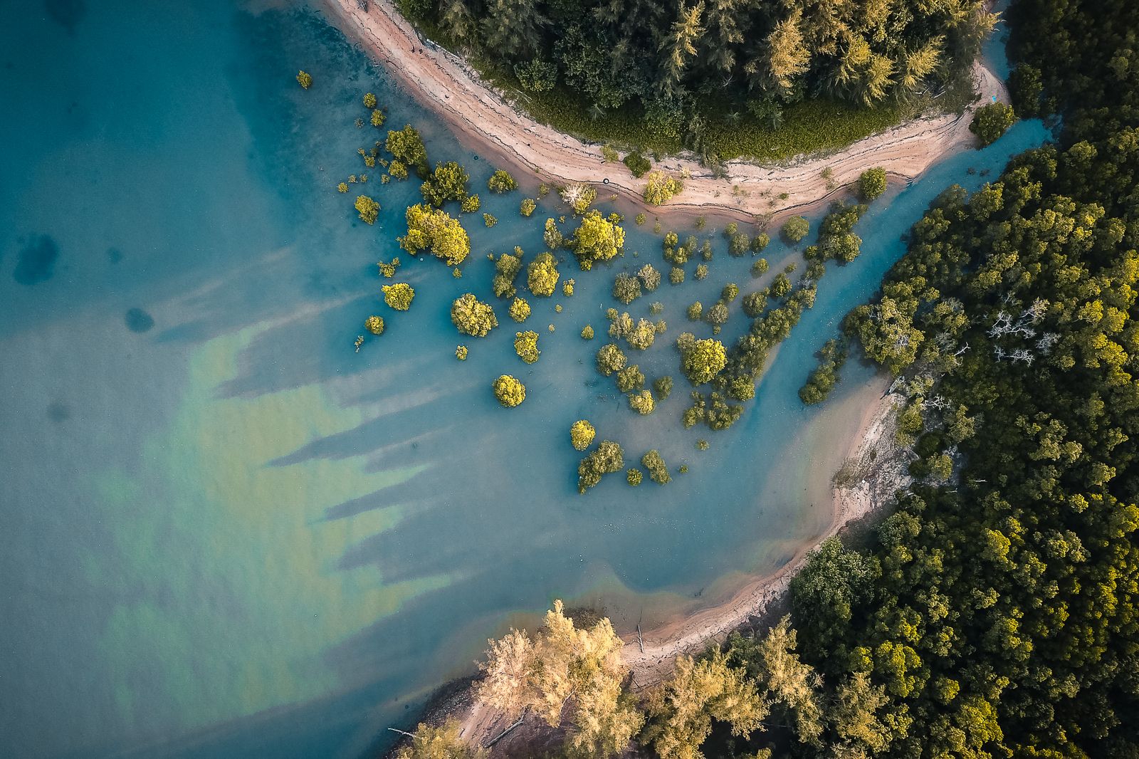
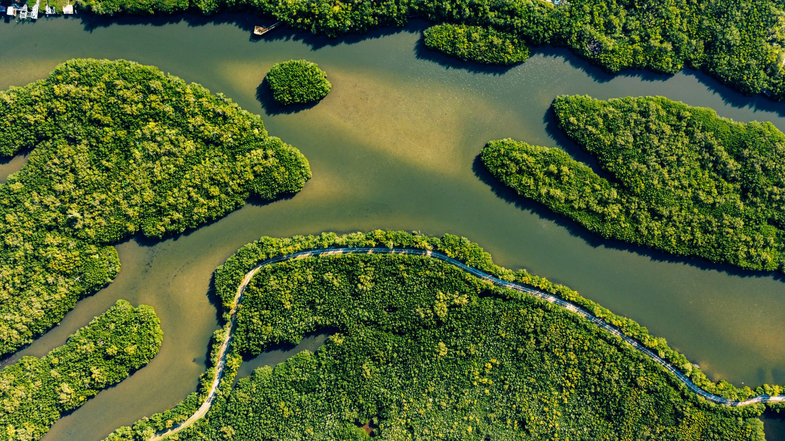
The Sundarbans covers about 10,000 square kilometres across Bangladesh and India and is the largest continuous mangrove forest on Earth. Its trees — Heritiera fomes, Excoecaria agallocha, Avicennia species — grow in brackish water on stilted roots that trap sediment and dissipate wave energy. When a surge hits a mature mangrove belt, the water does not stop. It slows.
A modelling study published in Scientific Reports on the global flood-protection benefits of mangroves estimated that the world’s remaining mangrove forests prevent more than $65 billion in property damage every year and reduce flood risk for roughly 15 million people. Bangladesh is among the handful of countries whose people gain the most. When Cyclone Sidr came ashore in 2007, the Sundarbans took much of the brunt: roughly a quarter of the forest was damaged as it absorbed the surge before it reached the settlements behind.
The physics is unglamorous. A hundred metres of dense mangrove can cut wave height by between 13 and 66 percent, with the sharpest drop right at the forest edge. A wide belt can take a metre or more off a surge before it reaches the villages behind. That is often the margin between a village that floods to the eaves and a village that floods to the knees.
Mangroves are an ancient lineage, dated back tens of millions of years, and they do something a seawall cannot: they build land. The roots trap sediment and the forest floor rises with the sea, gaining a few millimetres of height a year, so long as human infrastructure is not built right up against the back edge and choking off the tidal flow.
The concrete half of the answer
Trees alone would not have taken the death toll from six figures to two. The other half of the machine is a stock of more than 14,000 multipurpose cyclone shelters — squat concrete buildings on pilings, usually two or three storeys, with open ground floors that let surge water pass through. On calm days they are primary schools, mosques, or community centres. When the red flag goes up, they become refuges.
The first generation was built in the 1970s with funding from the Red Cross, the World Bank, and the Saudi and Kuwaiti governments. The current network can shelter several million people. Each is designed to withstand winds above 220 kilometres per hour and to sit above the historical maximum surge line for its stretch of coast. Ramps allow livestock in on the ground floor — a detail that matters, because farmers who fear losing their cattle will not evacuate.
76,000 volunteers on bicycles
The warning system is the third leg. The Cyclone Preparedness Programme, founded in 1973, runs about 76,000 trained volunteers — roughly half of them women, a deliberate policy choice — across the coastal districts. When the Bangladesh Meteorological Department issues a Great Danger Signal 10, the volunteers move through villages on bicycles with hand-cranked sirens and battery megaphones, going door to door.
The lead time is typically 24 to 72 hours. Before Amphan in 2020, roughly 2.4 million people were moved into shelters over about 36 hours. Before Cyclone Sidr in 2007, more than 3 million were moved, and the death toll came in at about 3,400 — devastating, but roughly one fortieth of the toll from the comparably intense 1991 cyclone.
The volunteers know their villages. They know which families have elderly members who cannot walk, which houses sit lowest, which pond-dyke road floods first. That local knowledge is not something a national broadcast can replicate.
Why not a seawall
The Netherlands answered its own flood problem with the Delta Works — a set of storm-surge barriers and dikes built after the 1953 North Sea flood killed 1,836 Dutch citizens. The Dutch coast is short, geologically stable, and backed by a wealthy state. Bangladesh has none of those conditions. The delta coastline is longer, softer, and reshapes itself with every monsoon. A continuous engineered seawall along the exposed coast would cost tens of billions of dollars and require rebuilding sections every few years as channels migrate.
Mangroves, by contrast, repair themselves. They grow. They reproduce. A restored belt in Kutubdia, planted in the 1990s, is now dense enough to buffer surges that would otherwise reach the main road. A global synthesis of coastal restoration projects found mangroves the least expensive marine habitat to restore — on the order of one to a few thousand dollars a hectare, and far cheaper still in the deltas of developing economies. A concrete revetment for the same stretch runs into the millions.
What still breaks
The system is not sealed. Cyclone Sidr in 2007 killed about 3,400 people, most of them in districts where the mangrove belt was thin or where shelters were more than two kilometres from a village — a distance families with young children and livestock struggle to cover once winds rise. After Sidr, the government pushed to bring more settlements within roughly a 1.5-kilometre walk of a shelter, and built accordingly.
Salinity intrusion is the newer problem. As sea level rises and cyclones push saltwater further inland, rice paddies fail and drinking wells turn brackish. The Sundarbans itself is under pressure: sections along its seaward edge are eroding faster than the forest can migrate landward, partly because embankments built for agriculture block the tidal flow the trees need. The Grantham Research Institute at LSE notes that the regulating services mangroves provide — surge attenuation, sediment capture, carbon storage — depend on keeping the hydrology intact.
The same failure shows up on mangrove coasts from Kenya to California: where roads and embankments have been built right up to the back of the forest, the mangroves have nowhere to retreat as the sea rises. The fix is not more concrete on the seaward side. It is reopening the blocked channels behind.
The numbers, plainly
In 1970, a Category 3 equivalent cyclone killed somewhere between 300,000 and 500,000 people in what was then East Pakistan. In 1991, a Category 5 killed about 138,000. In 2007, Sidr — Category 4 — killed about 3,400. In 2020, Amphan — which peaked at Category 5 over the Bay of Bengal — killed 26 in Bangladesh. In 2023, Cyclone Mocha struck as a Category 5 and killed fewer than 10 on the Bangladeshi side, though the toll across the border in Myanmar was far higher because the shelter and warning infrastructure does not extend there.
The population of the coastal zone has roughly doubled since 1970. The storms have not weakened; if anything, sea-surface temperatures in the Bay of Bengal have risen and the fraction of intense cyclones has grown. The 99-percent-plus reduction in mortality is not because the weather got kinder. It is because a forest, a stock of concrete buildings, and a network of volunteers on bicycles were placed between the storm and the people.
Moon Daily has written before about systems that stay alive on almost nothing — Voyager 1’s 22-watt radio calling from beyond the heliosphere, or bristlecone pines that germinated before the pyramids. The Bangladesh cyclone system belongs on the same shelf. It is a durable, low-power arrangement of trees, concrete and human attention that keeps working while more expensive things fail.
What the delta looks like now
On a clear day in Khulna district, the shelters are visible from a distance — pale rectangles on stilts above the rice paddies, one every kilometre or so along the road. Children play under them. Goats sleep in the shade. When the flag goes up, the same buildings absorb a village in an afternoon.
Behind them, the Sundarbans is a low green wall along the horizon. Tigers still live in it — around a hundred of them on the Bangladeshi side, the last mangrove tigers on Earth. Fishing boats work the tidal channels. The forest breathes with the tide, twice a day, the way it has for millions of years.
The next cyclone is coming. The Bay of Bengal spins up a handful of cyclones a year, and the intense ones are getting more frequent. When the next one arrives, the warning will move through the villages at bicycle speed, the shelters will fill, and the mangroves will take the first punch. The delta will flood. Far fewer people will die than the geography, on its own, would suggest.